The Uganda Land Commission (ULC) has launched a public display of cadastral maps in Karusandara Sub-county, Kasese District, in a move aimed at facilitating the issuance of land titles to residents occupying government land.
The exercise comes after years of boundary disputes between local occupants and authorities managing government installations — disputes that have fueled tension and prolonged uncertainty over land ownership in the area.
The display covers land under Mubuku Prison, the Mubuku Irrigation Settlement Scheme and sections of the game corridor linked to Kibale National Park.
Officials say the verification process is designed to allow residents to confirm their names, acreage and boundary details before final land titles are processed.
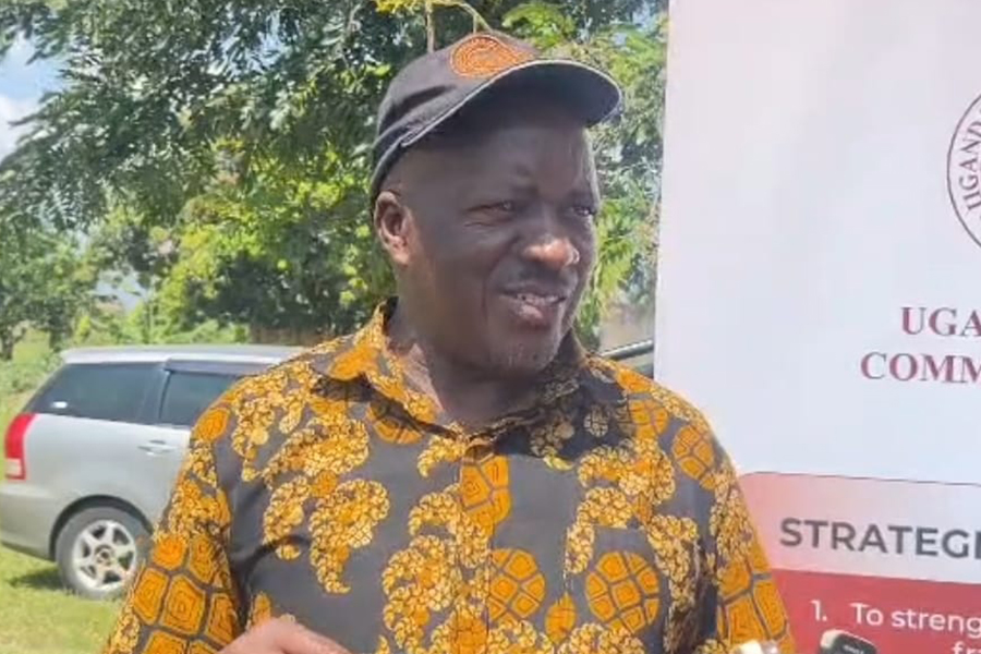
Speaking at the launch, ULC Commissioner Tom John Fisher Kasenge described the public display as a key step toward transparency and fairness in the land regularization process.
“This display is meant to give every beneficiary an opportunity to verify their particulars and land boundaries. We want to avoid future disputes by ensuring that what is captured on the map reflects the reality on the ground,” Kasenge said.
“Once this process is completed, the Commission will proceed with the issuance of land titles to rightful occupants,” he added.
Kasenge noted that beneficiaries will be required to pay stamp duty not exceeding Shs20,000 per acre to complete title processing.
“The stamp duty is minimal and is required to finalize the documentation process. We encourage residents to pay promptly because failure to do so may delay the issuance of their land titles,” he said.
However, residents of Kyalanga and Kanamba parishes will not immediately benefit from the exercise, as their areas were not included in the current display.
Kasese Resident District Commissioner Lt. Joe Walusimbi explained that the two parishes require additional legal processes before they can be incorporated into the program.
“Government will engage the affected communities as we work towards degazetting the concerned areas. Once that process is concluded, residents will also be considered under this land titling programme,” Walusimbi said.
Residents who turned up to inspect the maps described the initiative as a long-awaited breakthrough in resolving land conflicts that have persisted for years.
Furaha Valeria, a resident of Karusandara, said prolonged uncertainty over ownership had discouraged families from investing in their land.
“We have lived here for many years without clear documentation. This process gives us hope that we shall finally have security of tenure and develop our land without fear,” she said.
Local leaders have urged all eligible residents in Karusandara Sub-county to actively participate in the verification exercise to avoid being left out during the final allocation of titles.
Officials say the display will run for a specified period, after which corrections will be incorporated before the formal issuance of land titles begins.