Museveni: Geography teachers should use abundant local examples
On, 3rd December, 2017, while coming back from the PWD day in Kamwengye, I read a nice article in one of the Newspapers about Lake Nyabihoko. The mythology of the Banyankore – Bahororo tells us that that site was a huge Kraal (eka) of a rich man known as Mutuumo.
I was reminded by the writer (I had forgotten the story) that Mutuumo had an enjeru (paper white) cow which he had forbade his people to eat. However, his arrogant wife, while Mutuumo had kuzinduka (going for a long visit, a distance away, different from Kutayaaya – a visit of less than a day, and normally nearby), colluded with the workers (Abashuumba), they slaughtered the cow, roasted it and ate it.
Keep Reading
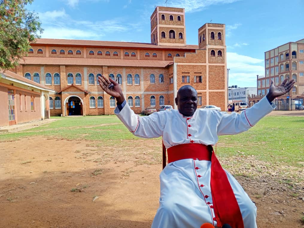
- > Rev Can Ateirweho lists priorities as he starts work as Bunyoro Kitara Bishop
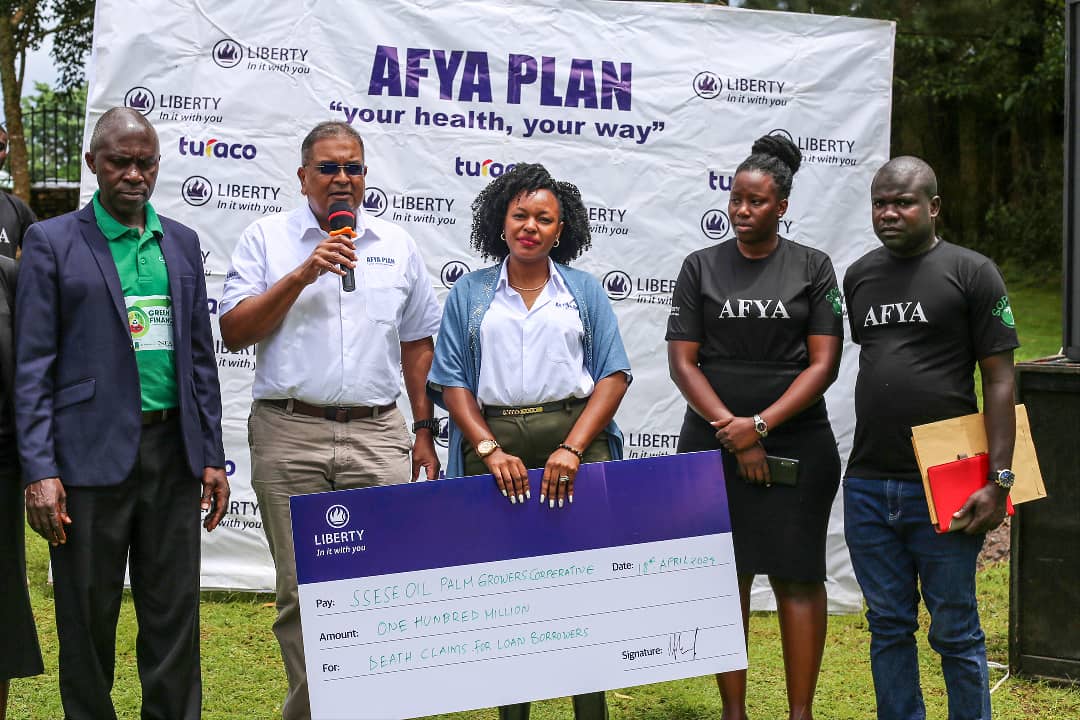
- > Liberty pays shs100m in life insurance claim to Kalangala family
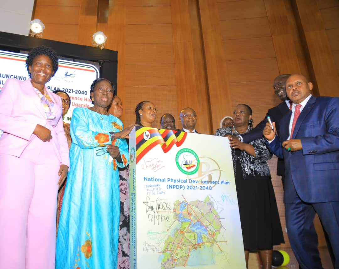
- > Uganda Charts Course for Sustainable Growth with National Development Plan
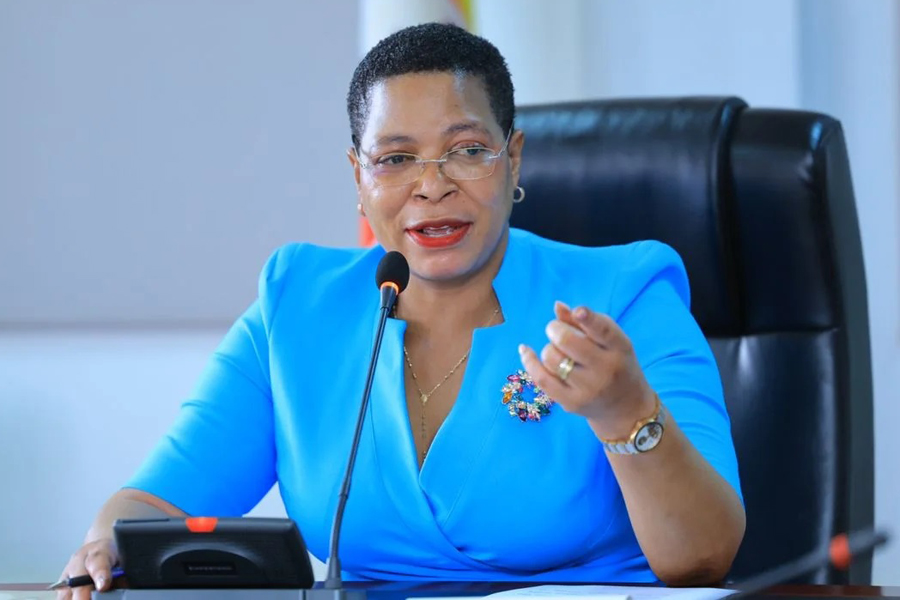
- > Speaker Among calls for guidelines to streamline transportation of school children
Soon after, at night, the whole kraal and the environs were engulfed by water and all the people and property were swallowed (kumirwa). When Mutuumo came back, he only gazed at a Lake where his Kraal had been.
The story then says that he went away to another area of the Banyankore – Bahororo, which stretched from Mutara, which is now in Rwanda, to River Katonga (the Ssembabule area) to stay with another rich man, Mwaamba.
There, let me leave the story of Mutuumo and go back to Nyabihoko, whatever the story of its origin.
I hope the department of Archaeology, possibly associated with one Dr. Mwambutsa Ndebesa, who normally writes fiction instead of writing history, will one day conduct excavations at the floor of the Lake to get some engusyo (pottery fragments), carbon-date them and do other analyses so as to get facts, retrospectively, instead of just depending on the Banyankore – Bahororo mythology.
More relevantly, I want to inform the reader that when I read the Nyabihoko story, I was reminded of what I normally observe from the helicopter the People of Uganda provided me as President for quick travel.
Flying above that area, I was able to realize that Nyabihoko is actually part of the Kagyera River system through Nyarwaambu (the swamp that goes through Rugoongyi, separates Ibaale from Nyabushenyi, crosses Mbarara – Kabaale road at mile 48 at Kamira, goes to Kategure and joins the Rufuuha swamp, which I presume pours its waters into the Ekyaambu (the river) that today separates Rwanda from Uganda, which, then, joins the Kagyera River near Kagyezi which the Banyarwanda call (Kakitumba).
At Katiinda and Kyamugaashe, the Nyabihoko – Nyarwaambu waters are joined by the waters of Kyangara – Rujumo, Kyenyuungu – Kyamigango – Kaitanturegye and Kahuunga – Kakingura – Kyamate tributaries.
Here, I am omitting to mention the small streams like Kafuunjo which passes through our land that we sold to the late Mzee Kampororo in 1958 or the Kabahaambi – Ntungamo stream that passes between Tashobya’s school and the Petrol Station that is on the junction of the Rukungiri – Kabaale Road.
All these are tributaries of the Kagyera and all those encroaching on them or planting eucalyptus trees in them should be persuaded to get out peacefully. They are our stores of water and sources of rain in that particular area. Travelling by air has helped me to see these River Systems more clearly.
I would also like to challenge the geography teachers in the Secondary Schools, to use the abundant local examples to make our students understand well.
I do not know why our geography teachers at Ntare, Mottram, Crompton, Breton etc. could not use more local examples to make us understand. I remember once Breton taking us to the River Rwizi, behind and below where Mbarara University now is, to show us an ox-bow Lake (a portion of the River Course that the River has abandoned).
That was good. However, those teachers could also have taken us to Mitooma and Kikonkoma, the hills and ridge that separates Itojo from Ruhaanga, to show us the watershed of the Kagyera River System and the River Rwizi System. Where does Nyaruteme (30 miles from Mbarara) pour its water?
Does it link with Nyamukana and Rwizi or does it link with Rutsindura and Kahengye, which would make it part of the Albert Nile System, through Lake Edward, River Semliki and Lake Albert. Rivers Kagyera, Rwizi, Katonga etc. are part of the Victoria Nile. I have not had an opportunity to trace Nyaruteme to its next confluence point with the next river system.
I have, however, been able to establish that Kyaruhotora, where my relatives stay in Rubabo, is the watershed between the Kagyera System and the Albert Nile System. Then you come to Kyaruhotora where some of my relatives stay. Some of the water flowing to the East and South goes to the Kagyera System, through Nyabihoko and Nyarwaambu.
The water flowing to the West, through Kahengye – Mineera – Mutaano River becomes part of the Albert Nile. This means that the Kyaruhotora area is the watershed (the boundary ridge or point) between the Kagyera (and, therefore, the Victoria Nile) system and the Albert Nile System through Mutoomo, Lake Edward, Semuliki, etc.
God favoured Uganda so much. After every ridge or hill, there is a stream. All these streams are part of the Nile, either through Victoria Nile or Albert Nile (Nalubaale or Mwitanzigye). All of them must be restored.
I thank the Mutuumo writer for reminding me.
Yoweri K. Museveni
PRESIDENT OF THE REPUBLIC OF UGANDA